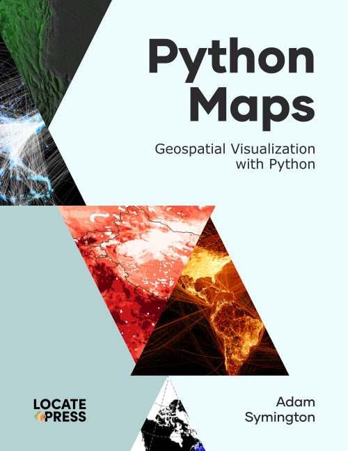
Python Maps
Geospatial Visualization with Python
by Adam Symington
PDF and Paperback now available!Discover how to transform geospatial data into stunning, informative maps with Python—the ultimate programming language for GIS professionals and enthusiasts alike.
Whether you’re new to GIS or looking to enhance your Python skills, this book takes you on a journey through geospatial concepts, culminating in the creation of compelling, shareable visualizations.
Maps are the heart of this book. From the very first chapter, you’ll see how Python enables you to go beyond static desktop GIS tools, offering unparalleled flexibility, reusability, and integration with the broader data science ecosystem. Whether you’re managing spatial data pipelines, integrating GIS with machine learning workflows, or simply crafting eye-catching maps, Python is the tool that connects it all.
With this book, you’ll master GIS fundamentals and dive into the world of geospatial data manipulation and analysis. You’ll learn to reproject datasets, perform geospatial joins, mask rasters, and apply advanced visualization techniques to create polished maps. By the end of your journey, you’ll be equipped to handle the full spectrum of geospatial challenges, from managing raw data to crafting publication-ready visualizations.
Python is the ideal tool for GIS, bridging the gap between geospatial analysis and the broader data science world. Unlike desktop GIS tools, Python offers unparalleled flexibility for scaling workflows, automating tasks, and integrating geospatial data with cutting-edge technologies like machine learning. Its vibrant community and ecosystem of reusable libraries also make it the go-to choice for modern GIS professionals and developers. Whether you’re new to programming or transitioning from a desktop GIS tool like QGIS, Python empowers you to work smarter and share knowledge more effectively.
This book is for anyone looking to explore or deepen their understanding of Python for GIS. If you’re a beginner with no GIS experience, you’ll find step-by-step guidance and approachable examples. If you’re a Python user eager to expand into geospatial analysis, this book provides the perfect roadmap. For GIS practitioners, this book helps transition from desktop tools to Python’s powerful scriptable ecosystem, enabling greater efficiency and innovation.
How the Book is Structured
Part 1: Getting StartedLearn the basics of GIS and Python’s geospatial libraries, focusing on key data types like points, lines, polygons, and rasters. Begin creating simple plots to visualize your data.
Part 2: Core GIS ConceptsDive deeper into GIS workflows, tackling challenges like raster masking, geospatial joins, and data projections. Build the skills to manipulate data for advanced analyses.
Part 3: Advanced Mapping and VisualizationMaster complex techniques like converting rasters to vectors (and vice versa), generating contours, and creating publication-ready maps.
Each chapter is packed with practical examples, reinforcing the knowledge you need to confidently apply GIS concepts in Python.
To keep up to date on this and our other books, subscribe to our low-volume newsletter.
Ordering Information
Our paperbacks can be ordered from Amazon or Ingram. E-books (PDF) can be ordered and downloaded directly from our Purchase E-books page.
If you need multiple print copies of our titles, contact us directly to place an order and save up to 20% when you purchase five or more copies. We print in, and ship from USA, UK, and Australia, but can deliver almost anywhere.
To get a quote and/or place an order, please contact us for details. Before you order, please read our Return Policy.


