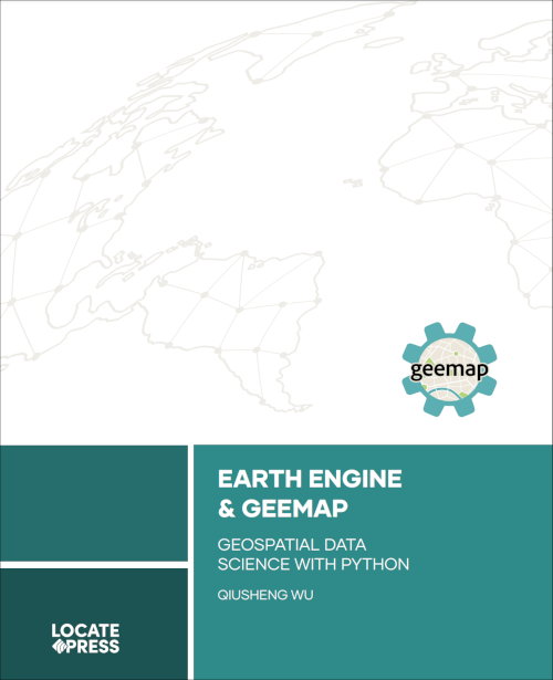
Earth Engine and Geemap
Geospatial Data Science with Python
by Qiusheng Wu
Get started, quickly, with Google Earth Engine and the powerful geemap Python package. Apply geemap to interactively analyze and visualize big geospatial data in a Jupyter environment.
Google Earth Engine (GEE) is a cloud computing platform that offers access to a vast data catalog of satellite imagery and geospatial datasets. The platform has gained immense popularity in the geospatial community in recent years and has played a significant role in empowering numerous environmental applications at local, regional, and global scales.
This book takes a hands-on approach to help users get started with the GEE Python API and geemap. It begins with the basics of geemap, including creating and customizing interactive maps. Then, users learn to load cloud-based Earth Engine datasets and local geospatial datasets onto the interactive maps.
As readers progress through the chapters, they will explore practical examples of using geemap to visualize and analyze Earth Engine datasets and learn how to export data from Earth Engine. Additionally, the book covers more advanced topics, such as building and deploying interactive web apps with Earth Engine and geemap.
Who this book is for
This book is designed for students, researchers, and data scientists who want to explore Google Earth Engine using the Python ecosystem of diverse libraries and tools. Regardless of whether you are a new or experienced user of the Earth Engine JavaScript API, this book is suitable for you.
Availability
PDF e-books are available for order from our website. Print versions will be available soon.
Contents
- Introducing GEE and Geemap
- Creating Interactive Maps
- Using Earth Engine Data
- Using Local Geospatial Data
- Visualizing Geospatial Data
- Analyzing Geospatial Data
- Exporting Earth Engine Data
- Making Maps with Cartoee
- Creating Timelapses Animations
- Building Interactive Web Apps
- Earth Engine Applications
To keep up to date on this and our other books, subscribe to our low-volume newsletter.
Ordering Information
Our paperbacks can be ordered from Amazon or Ingram. E-books (PDF) can be ordered and downloaded directly from our Purchase E-books page.
If you need multiple print copies of our titles, contact us directly to place an order and save up to 20% when you purchase five or more copies. We print in, and ship from USA, UK, and Australia, but can deliver almost anywhere.
To get a quote and/or place an order, please contact us for details. Before you order, please read our Return Policy.


