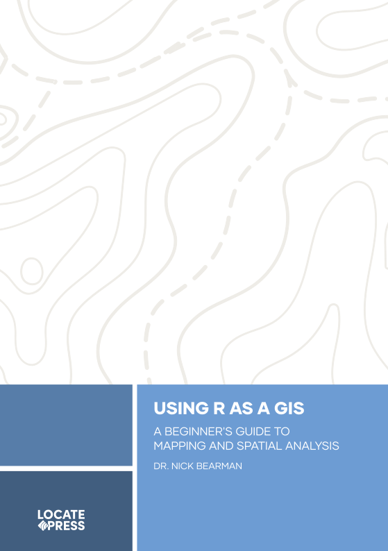
Using R as a GIS
A Beginner's Guide to Mapping & Spatial Analysis
by Dr. Nick Bearman
Discover how the R programming language can transform your GIS journey, empowering you to create stunning maps, analyze spatial data, and unlock advanced geospatial insights–no prior experience needed!
This book is all about the scripting language R, and how you can use it as a GIS to manage, display, symbolise, and analyse spatial data. While initially starting out as a statistics package, now R can also create maps and perform spatial analysis - much like the tools you would find in QGIS or ArcGIS Pro.
In this book, we will cover the basics of GIS and R, as well as some more advanced visualisation and analysis techniques. We assume no prior knowledge of GIS or scripting. This book is also suitable if you have previously used a graphical desktop GIS, but want to move to a script-based GIS. Two of the key benefits for adopting a script-based approach are: code reusability, and sharing of knowledge with others, e.g. sharing code from a research project.
This book is split into five parts:
- Part 1: What is GIS & Spatial Data? Covers some of the key pieces of theory you need to know to work with a GIS successfully.
- Part 2: Spatial Data Covers building more advanced maps, and making use of raster and vector data.
- Part 3: Advanced Concepts Applies some of the GIS techniques we have learned to more advanced programming concepts in R, including loops, which involve repeating code multiple times with different datasets, and spatial data wrangling (getting your data into a usable format in R).
- Part 4: Project Management Covers some really important file management techniques, projects, version control, and R markdown. This will help you develop from running a series of scripts to do your analysis, to making full use of R and RStudio tools in your overall workflow.
- Part 5: Next Steps Covers some key hints and tips on where to find spatial data when you are working on your own project, what your next steps are after finishing the book, and some really useful hints and tips for finding information and help on the web.
This book is designed for people who are new to R, or even new to scripting and programming. No prior knowledge is needed! Ideally, you will know a little bit of GIS already, and maybe have opened QGIS or ArcGIS. However don't worry if you haven't, we will cover the key GIS terminology that you need to know.
Preview Chapter
Download a preview chapter to learn a bit of the background about R, how it's useful for reproducible research, how to write some basic R scripts and make some simple maps using R.
Data Files
To keep up to date on this and our other books, subscribe to our low-volume newsletter.
Ordering Information
Our paperbacks can be ordered from Amazon or Ingram. E-books (PDF) can be ordered and downloaded directly from our Purchase E-books page.
If you need multiple print copies of our titles, contact us directly to place an order and save up to 20% when you purchase five or more copies. We print in, and ship from USA, UK, and Australia, but can deliver almost anywhere.
To get a quote and/or place an order, please contact us for details. Before you order, please read our Return Policy.


